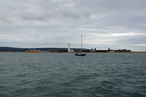
A long beat in light winds, the weather was generally good until south of Lulworth when fog and drizzle reduced visibility to half a mile or less and on went the radar, something I don't normally do when the engine is not running despite the relatively low power requirement of the modern radar.
 |
Radar plot on the right, GPS map on the left. approx SW of
me is an AIS target (red triangle) classified as dangerous because
it fell within criterial I have set up. on the radar plot the blue return
if the radar return was red it would show the target moving towards
me, if moving away it would be green. Approx NW is a radar return
I have "told" the radar to track. |
 |
Approaching Portland things started to get very busy, I knew where
I was relative to Portland and the plan track so I had switched
the display to radar & AIS only. The middle tracked target had just
gone within the set limit and the green one will shortly do so.
Ahead there is a target showing on AIS and radar. |
When I was about 4 miles from Portland there were at least a dozen small boats showing ahead on radar but not AIS plus a couple of huge P&O cruise liners and a couple of tankers, the ships almost certainly hiding other small boats. Some of the small boats with poor or no radar reflectors were not showing up until within half a mile, so I decided to stop sailing as the headsail makes keeping a visual watch whilst watching the radar difficult so I changed to the motor. Naturally 10 minutes later the sky cleared and it was an easy arrival.
20 miles in a little under 5 hours.
Slide show of my pictures from Hamble to Portland, page through by clicking the arrows or click in the centre of the pic to view from Flickr in a new window or full screen:

Click here for days 4 and 5.


No comments:
Post a Comment