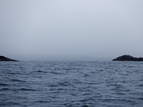
I was fog bound with visibility less than 150 metres and no phone signal on O2 or Vodaphone so the only forecasts I had were the downloads via satellite for wind, rain and pressure and a general warning on the slightly out of date shipping forecast of some fog banks in the Hebrides.
I could see that I needed to be in shelter by Tuesday evening because of strong westerly winds, I would be OK at Vatersay Bay and a couple of other places but did not want to stay here that long especially if the weather was poor, so I called my wife on the IridiumGo satellite app only to find there was no mention of fog in the domestic forecast for Barra Airport just up the coast. So I would just have to wait and see.
The fog lifted to give about a mile visibility so I moved north through the Fisherman’s Passage with the option of going to CastleBay or an anchorage at Cornaig Bay on the north shor of Vatersay.
The Fisherman’s Passage is only 35 yards wide although from a distance it looks much wider as many of the bounding rocks are underwater or awash. Passing through was a bit of a white knuckle ride as it looked far narrower due to a lot of floating seaweed on the channel side of the partially submerged central rock and the islet to the east.
Approaching the narrow part of Fisherman's Passage between Vatersay and Muldoanich. Note the rock just awash near the middle of what appears to be the passage (at the end it is almost in line with the main shroud, full screen may be needed to see it).
.JPG) |
| The rock mentioned when it came abeam. |
I had plotted the route on the Memorymap iPad App using the highly detailed Antares charts that are aligned with gps, transferred that into the Garmin iPad App which automatically loaded it into the plotter. I then went through on autopilot monitoring my position and Xtrack error on two independent GPS / charting systems, one raster (Antares) and one vector and by Mk I eyeball.
When single handed you want to avoid as many distractions as possible and manual steering in a narrow channel with tide is a big distraction.
I was hoping to get a phone signal from a mile off of the village of Castlebay which is a ferry port and the main settlement in the southern Outer Hebrides and could then decide what to do. No such luck, no phone signal, and Castlebay anchorage and pontoons are exposed to the SW wind, only F3 – F4 at the time but could get stronger and whilst I could do with a shower and a bit of shopping I opted for comfort and headed for Coraig Bay where, by late afternoon I was again fog bound.
%20pan.jpg) |
| The bay next morning. |
The current plan (Saturday evening) is to go into Castlebay on Sunday when the wind is due to be northerly, briefly explore and anchor in The Sound of Barra on Monday and head for Loch Boisdale, S. Uist on Tuesday for a night or two until the strong-ish winds have passed through on Wednesday or Thursday, there is no worthwhile grocery shipping there but showers, laundry and a hotel which served some decent fish and chips when I was there last year.
Four Miles in an hour and a quarter..JPG)


No comments:
Post a Comment