I left just before six in a dead calm and made quick progress down the Hamoaze on the first of the ebb side.
 |
| Leaving the Hamoaze heading west of Drakes Island. |
.JPG) |
| "The Gate", a narrow short cut to the west of Drake's Island. |
I ran into fog just past Drake's Island, fortunately it was isolated banks.
.JPG) |
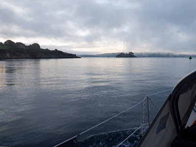
| Plymouth breakwater just after dawn. |
I had hoped to anchor for the night on the east side of the Lizard peninsula, somewhere between The Helford and Coverack but with a moderate and rather variable head wind that proved too far so I went to Portscathow, a good fair weather anchorage, not as protected from swell as St Mawes but much closer and only a couple of miles more to the Lizard the next morning when I would have lots of time before the tide turned favourable,
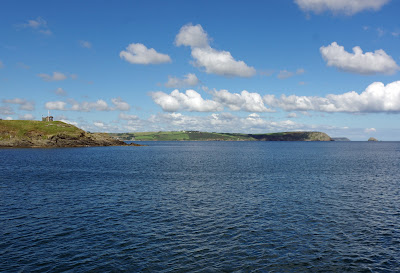 |
Looking east from the anchorage, The Dodman on the right,
the Portscatho National Coast Watch lookout on the left. |
.JPG) |
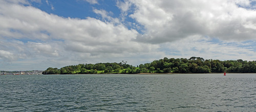
Portscatho is a popular destination for boats day sailing
from the Fal, only two of us stayed overnight. |
44 miles over the ground in nine and a half hours.

.JPG)

.JPG)


.JPG)
No comments:
Post a Comment